Photos taken after the Springfield tornado
Pictures from a drive down Jefferson and then turning left onto Veterans Parkway.
Then another left onto Wabash Avenue.
I couldn't get to the worst hit areas, since those were blocked off by police and probably quite unsafe to be near.
These are photos from outside of the worst hit areas.
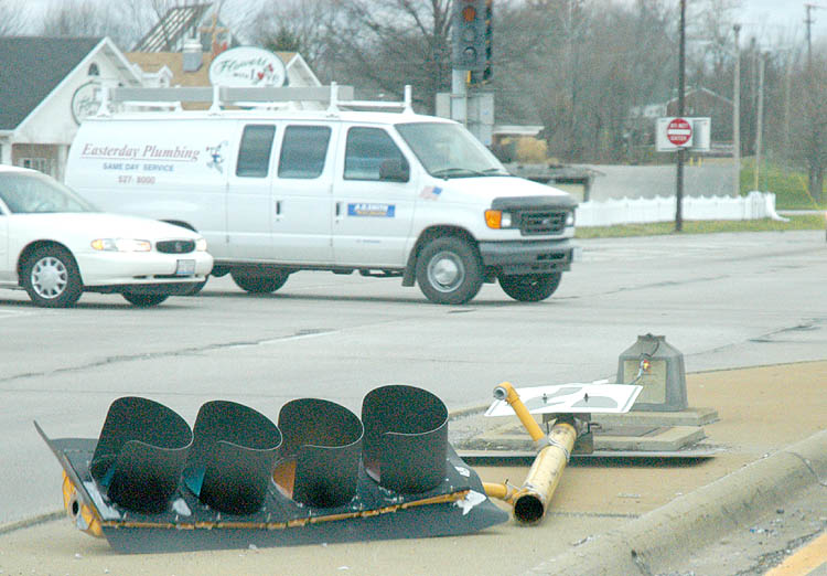
Imagine the wind force it would take to knock down a traffic light.
Click on a photo for a larger view.
On the path I took, most of the traffic lights were either down or non-functioning.
Oddly enough, traffic flowed pretty well.
Probably because there was less traffic that day since state workers, schoolchildren, etc. spent the day at home.
Oddly enough, traffic flowed pretty well.
Probably because there was less traffic that day since state workers, schoolchildren, etc. spent the day at home.
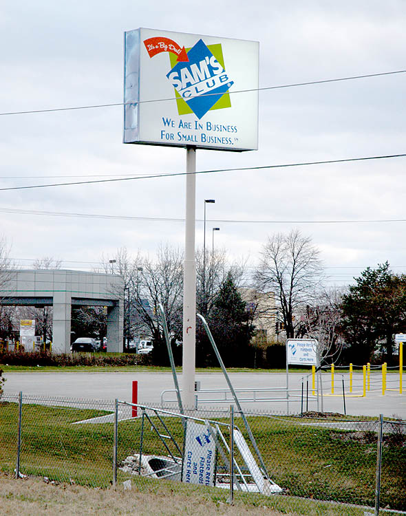
Sam's Club was open to the public today.
It was odd not having to flash them my Sam's Club card.
Note what happened to their cart corral and the lack of birds on the utility lines.
Usually those are loaded with birds on them.
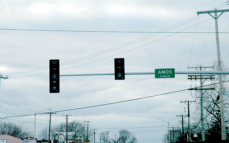
You'd think with all the work that went into that traffic light system at Veterans Parkway and Wabash that they'd include a battery back-up system.
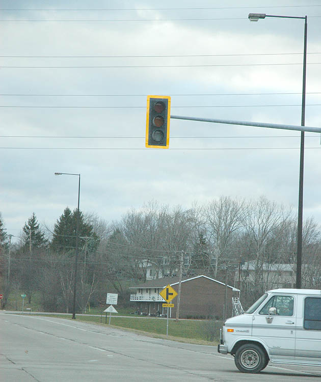
This photo is of the traffic as I turned left onto Wabash Ave from Rt 4.

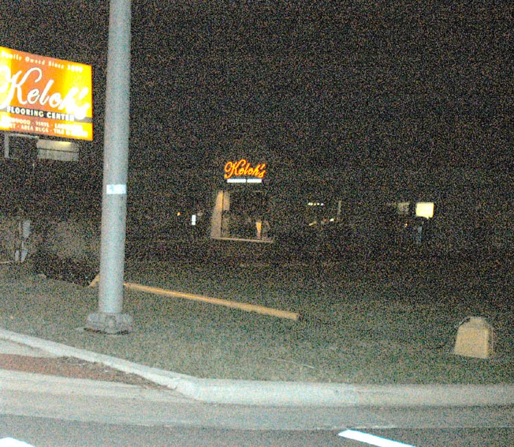
In front of the old lighting center...
Driving on I-55 you see some interesting truckloads.
Any idea what this is?

As you can see, I didn't get photos of the areas that were most affected by the tornado, as those were blocked off by police.
Click here for links to photos from the areas I couldn't access.
The Springfield email list is discussing the Springfield tornados.
Join the list and share your experiences from this day.
http://groups.yahoo.com/group/springfieldillinois/
No comments:
Post a Comment